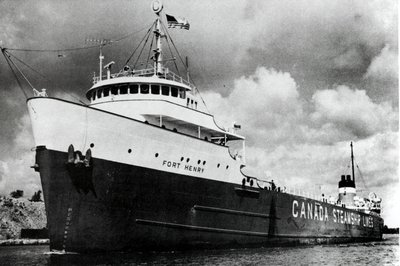
Fort Henry
Description
- Creator
- Bascom, John N., Photographer
- Media Type
- Image
- Item Type
- Photographs
- Description
- Photograph of FORT HENRY downbound in Neebish Rock Cut
- Date of Publication
- 10 Aug 1973
- Subject(s)
- Geographic Coverage
-
-
Michigan, United States
Latitude: 46.30585 Longitude: -84.21531
-
- Copyright Statement
- Protected by copyright: Uses other than research or private study require the permission of the rights holder(s). Responsibility for obtaining permissions and for any use rests exclusively with the user.
- Contact


