The Maritime History of the Great Lakes site is managed by Walter Lewis
Click here to Contribute your own images to the collection.
Certain parts of the collection contain historical language and content that some may consider offensive, for example, language used to refer to racial, ethnic and cultural groups. Items in the collection, their content and their descriptions reflect the time period when they were created and the view of their creator.
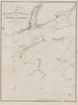
![Lake Huron. Sheet V [1822]](https://images.MaritimeHistoryoftheGreatLakes.ca/images/MHGL000122591.jpg)

